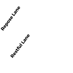
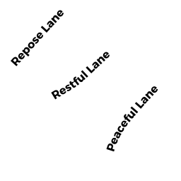
19 RESTFUL LN
Owner Information
STAHMER SHIRLEY A
18675 US HWY 19 NORTH #474
CLEARWATER, FL 33764


Property Details
19 RESTFUL LN is classified as a Undevelopable Residential Land (Vacant land).
19 RESTFUL LN is valued at 7900. The land is valued at 7900 and the structures are valued at 0.
This property is in Zone R130. Confirm with local Zoning Board authorities to ensure there are no overlays or other easements on this property.
The most recent deed for 19 RESTFUL LN is recorded at the local registrar in Book 4819, Page 0339. 19 RESTFUL LN was last sold on 1901-01-01 for 1.
Assessment data from fiscal year 2022.
Flood Data
According to the FEMA National Flood Hazard Layer, this property does not appear to be in a flood zone. It may also be in an area not yet reviewed. Nonetheless, confirm this information prior to taking any action.
To view the flood hazards around this property, create a FEMA "Firmette" Map of the area around 19 RESTFUL LN.
Broadband Internet Providers
| Provider | Type | Bandwidth (mbps) | |
|---|---|---|---|
| GCI Communication Corp. | Satellite | 0 | 0 |
| Verizon New England Inc. | Fiber | 940 | 880 |
| Verizon New England Inc. | DSL | 5 | 0 |
| Viasat Inc | Satellite | 35 | 3 |
| Comcast | Cable | 1000 | 35 |
| HughesNet | Satellite | 25 | 3 |
| VSAT Systems, LLC. | Satellite | 2 | 1 |
Broadband service provider data from December 2020.
Adjacent Properties
- 0 TERRY LN
Improved, Selectmen or City Council (Municipal) owned by TOWN OF WAREHAM - 0 FONSECA WY
Undevelopable Residential Land owned by CORNERSTONE ESTATES 2 - 26 PEACEFUL LN
Single Family Residential owned by TAYLOR DWIGHT C - 17 RESTFUL LN
Vacant, Selectmen or City Council (Municipal) owned by TOWN OF WAREHAM - 32 PEACEFUL LN
Single Family Residential owned by HILL EDDIE - 30 PEACEFUL LN
Single Family Residential owned by PIMENTAL ADAM & AMBER - 28 PEACEFUL LN
Single Family Residential owned by JOHNSON EVERETT P